Western Krkonoše and foothills
Where shall we go today?
The approximate distance from the cottage is shown next to an icon. For distant mountain routes, it refers to the starting point. For outings starting at the cottage, the full route length is shown.
Outings shown: 18
3 km
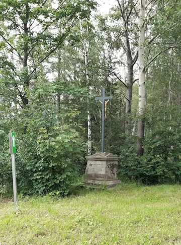
Tomáš's Cross
Walk (7.7 km)
Start and finish: Blansko 564
A walking circuit from the cottage to Tomáš's Cross and back, following the saved map.
Route map Tomáš's Cross
The Mapy.com map loads only when you open it. Privacy when viewing maps
4 km
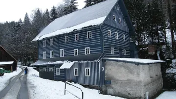
Janatův mill
History by arrangement
A timbered mill with preserved machinery and a bread oven. A suggestion for visitors interested in old buildings and mountain life.
Regular daily access is not guaranteed. Arrange a visit in advance outside the listed events.
Route map Janatův mill
The Mapy.com map loads only when you open it. Privacy when viewing maps
4 km
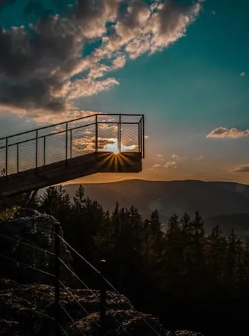
Stráž viewpoints from the cottage
10.3 km · elevation gain 355 m
Start and finish: Blansko 564
A walking circuit from the cottage to the Horník, Ovce, Medvěd and Liška viewpoints and back to Blansko. Forest paths and valley views without a drive to the start.
A hilly route with forest paths. The viewpoints have steps and ladders.
Route map Stráž viewpoints from the cottage
The Mapy.com map loads only when you open it. Privacy when viewing maps
4 km
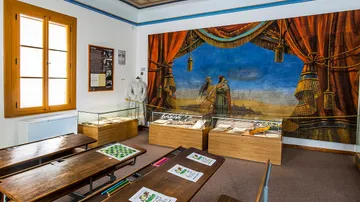
Památník zapadlých vlastenců museum
Museum and mountain stories
Local history, weaving looms and the violin-making tradition. A way to explore the stories behind old mountain cottages.
Plan around current opening times. Check stroller access to the exhibition in advance.
Route map Památník zapadlých vlastenců museum
The Mapy.com map loads only when you open it. Privacy when viewing maps
11 km (to the start)
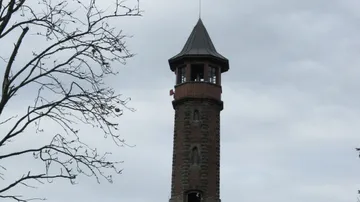
Štěpánka lookout tower
A viewpoint to visit
A lookout tower with views towards the western Krkonoše and Jizera Mountains. Another option when visiting Příchovice.
The viewing platform is reached by stairs.
Route map Štěpánka lookout tower
Walk to the destination; drive to the start of the marked route.
The Mapy.com map loads only when you open it. Privacy when viewing maps
11 km
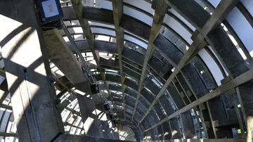
Příchovice: forest park and Cimrman
Family activities and views
The Na Sluneční forest park and the Cimrman complex with its museum and lighthouse. Combine the outing with a meal at U Čápa.
Route map Příchovice: forest park and Cimrman
The Mapy.com map loads only when you open it. Privacy when viewing maps
15 km (to the start)
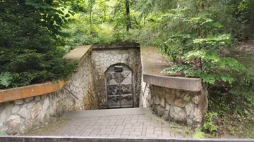
Bozkov Dolomite Caves
Underground · tour about 45 minutes
A guided underground visit as an alternative to a mountain hike. Leave the car in the village and walk to the caves.
There are steps and cool conditions underground. The operator advises against visits with children under three; do not treat this as a stroller outing.
Route map Bozkov Dolomite Caves
Walk to the destination; drive to the start of the marked route.
The Mapy.com map loads only when you open it. Privacy when viewing maps
15 km
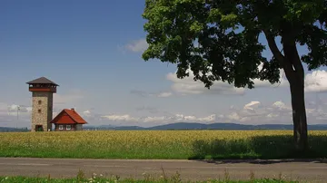
U borovice lookout tower
Foothill views
A lookout tower between Roprachtice and Helkovice. A separate suggestion for a drive into the foothills.
Route map U borovice lookout tower
The Mapy.com map loads only when you open it. Privacy when viewing maps
17 km
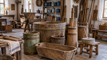
Starý kravín museum and gallery
Crafts and old tools
Exhibitions of old tools, local crafts and firefighting equipment. A cultural stop in the area of the Stráž viewpoints.
Route map Starý kravín museum and gallery
The Mapy.com map loads only when you open it. Privacy when viewing maps
19 km (to the start)
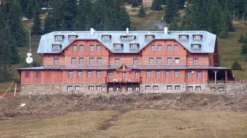
From Harrachov to Poniklá
44 km one way · elevation gain 1072 m
Start: Harrachov · finish: Poniklá
A mountain cycling route via Krakonošova snídaně, Ručičky, Dvoračky and Rezek, followed by a long descent to the foothills.
A demanding one-way route with a steep descent. Arrange access and return in advance, and verify bicycle carriage on your chosen service.
Route map From Harrachov to Poniklá
The Mapy.com map loads only when you open it. Privacy when viewing maps
19 km
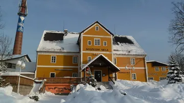
Novosad a syn Glassworks
Glass, tours and a microbrewery
Visit traditional glass production and consider a stop at the restaurant with its microbrewery. An option when the ridges are less inviting.
A guided tour of glass production takes about 45 minutes. Tickets are available at reception or online.
Route map Novosad a syn Glassworks
The Mapy.com map loads only when you open it. Privacy when viewing maps

21 km
Rautis: beaded ornaments
Crafts and production
Discover the hand production of beaded ornaments. An alternative to a mountain hike and an introduction to a living local craft.
Check tour dates, any hands-on activity and suitability for your children's ages with the operator.
Route map Rautis: beaded ornaments
The Mapy.com map loads only when you open it. Privacy when viewing maps
22 km (to the start)
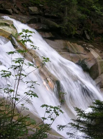
Mumlava and Krakonošova snídaně
12 km · elevation gain 329 m
Start: Harrachov, as shown on the official map
Follow the Mumlava to its waterfall and further up the valley. The published family route is also described for strollers and returns to its starting point.
The full 12 km is not a short stroll. Stroller suitability does not automatically include side paths or access to the river.
Route map Mumlava and Krakonošova snídaně
The Mapy.com map loads only when you open it. Privacy when viewing maps
23 km
Harrachov
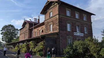
Cycling (34.9 km)
Start and finish: Blansko 564
A cycling circuit from the cottage to Harrachov and back, following the saved map.
Route map Harrachov
The Mapy.com map loads only when you open it. Privacy when viewing maps
31 km (to the start)
From Martinice to Branná and back
22 km · elevation gain 231 m
Start and finish: Martinice v Krkonoších
A gentler cycling circuit through the foothills via Horní and Dolní Branná, Horní Kalná and Zálesní Lhota.
The route does not start at the cottage. A gentler profile does not mean traffic-free roads or automatic suitability for young cyclists.
Route map From Martinice to Branná and back
The Mapy.com map loads only when you open it. Privacy when viewing maps
31 km (to the start)
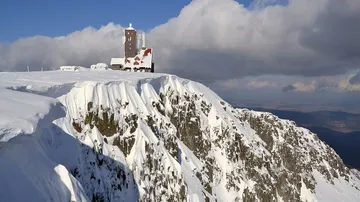
Via the Elbe spring to Sněžné jámy
17.5 km · elevation gain 669 m
Start: Horní Mísečky
A full-day mountain hike from Horní Mísečky to the Elbe spring and the ridges.
Allow for mountain weather and a reserve of energy. Check transport and closures before leaving.
Route map Via the Elbe spring to Sněžné jámy
The Mapy.com map loads only when you open it. Privacy when viewing maps
34 km (to the start)
Benecko via Rovinka to Třídomí
5 km one way · elevation gain 19 m
Start: Rozcestí car park, Benecko
An almost level paved road through the forest. An officially described stroller route with a possible stop at Rovinka.
Returning the same way means about 10 km in total. The gravel turn-off to Janova hora has different conditions.
Route map Benecko via Rovinka to Třídomí
The Mapy.com map loads only when you open it. Privacy when viewing maps
41.3 km · elevation gain 1014 m
From the cottage via Paseky and Poniklá
Start and finish: Blansko 564
A cycling circuit from Blansko via Paseky, Vysoké nad Jizerou, Poniklá and Františkov back to the cottage. Countryside, villages and possible stops to discover local crafts.
A demanding cycle-touring route, not an easy family ride or a guaranteed road-bike route. Check surfaces, path conditions and exhibition opening times beforehand.
Route map From the cottage via Paseky and Poniklá
The Mapy.com map loads only when you open it. Privacy when viewing maps
Before you go
- Follow the weather and current restrictions in the mountains. Winter conditions can fundamentally change a summer route. KRNAP
- Check closures and transport before heading to Zlaté návrší. Tourist buses may not carry bicycles and timetables are seasonal. Current transport information
- In the national park, cycle only on permitted roads and designated cycle routes, not automatically on every marked walking trail. Cycling rules
- Accessible Krkonoše