Distances beside an icon run from the cottage to the ski area or starting point. For tours, the map shows the itinerary itself.
Ski slopes and lifts
Nearby slopes and a larger mountain ski area.
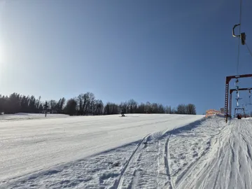
800 m
Kamenec ski area – Jablonec nad Jizerou
Blue and red slopes · surface lifts
Ski slopes in Jablonec itself. T-bar and platter lifts serve blue and red runs, with a short rope tow for young beginners.
A 35 m children's slope. SnoWy offers private and group lessons for children and adults; beginners learn in the children's park.
When snow allows, the Kamenecká cross-country trail (3 km) connects towards Vysoké nad Jizerou.
Route map Kamenec ski area – Jablonec nad Jizerou
The Mapy.com map loads only when you open it. Privacy when viewing maps
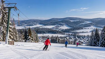
5 km
Šachty ski area – Vysoké nad Jizerou
Surface lifts · cross-country circuits
A ski area on the edge of Vysoké with Double Max and Poma lifts. Tickets bought at the main ticket office also cover neighbouring Sklenařice.
The children's ski park with a conveyor belt and rope tow is at Petruškovy vrchy, separate from Šachty's main slopes. Confirm the meeting point and beginner lesson availability with Yellow Point in advance.
Cross-country circuits of 1–5 km are groomed when snow conditions allow.
Route map Šachty ski area – Vysoké nad Jizerou
The Mapy.com map loads only when you open it. Privacy when viewing maps
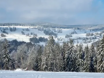
6 km
Paseky nad Jizerou ski area
Chairlifts · children's lifts and conveyor belts
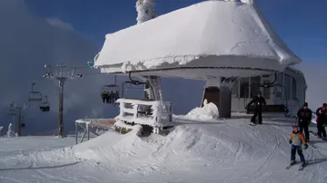
Blue and red slopes served by chairlifts. Children's lifts and conveyor belts help beginners take their first turns.
Johanka park at P1 and Pepíček park at P4 have children's lifts and conveyor belts. Gentle learning slopes and ski schools cater for first turns.
Directions lead to the lower station of the Paseky chairlift. Cross-country trails around Bílá skála and Hvězda connect from the upper stations.
Route map Paseky nad Jizerou ski area
The Mapy.com map loads only when you open it. Privacy when viewing maps
15 km
Horní Domky ski area – Rokytnice nad Jizerou
Four-seat chairlifts · varied difficulty
A larger mountain ski area with the Horní Domky and Lysá hora four-seat chairlifts. It offers slopes of different difficulty and the Kaprun children's fun park.
Mountain Base teaches children and adults. The resort lists easy Kaprun I/II slopes and a children's conveyor belt; arrange a suitable location and lesson with an instructor for complete beginners.
Route map Horní Domky ski area – Rokytnice nad Jizerou
The Mapy.com map loads only when you open it. Privacy when viewing maps
Route in Mapy.com Horní Domky ski area – Rokytnice nad Jizerou
Cross-country skiing
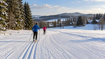
Short circuits and a longer forest route. Grooming depends on snow; do not walk in the prepared ski tracks.
Cross-country skiing at Kamenec too · Cross-country skiing at Šachty too
11 km (to the start)
U Čápa cross-country area – Příchovice
1.5 km · short cross-country circuit
Start: U Čápa in Příchovice, from the ski-area car park.
A short circuit by U Čápa for practice or a relaxed ski. With enough snow it is groomed and lighting is available; further tracks connect around Kořenov.
Circuit lighting: 16:30–21:00.
Route map U Čápa cross-country area – Příchovice
The Mapy.com map loads only when you open it. Privacy when viewing maps
12 km (to the start)
Past Hvězda – Kořenov → Šachty
15.2 km · point-to-point cross-country route
Start: Kořenov car park in Příchovice.
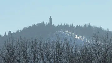
This longer route passes Hvězda, Bílá skála and the forests above Paseky, then continues via Čermákovy Rovně to the Šachty cross-country area.
The route finishes at Šachty, not at the starting car park. Arrange your return to the car in advance; this is not a loop.
Route map Past Hvězda – Kořenov → Šachty
The Mapy.com map loads only when you open it. Privacy when viewing maps
14 km (to the start)
U Kapličky cross-country tracks – Rokytnice
Local cross-country tracks
Access: from car park P3 to the U Kapličky tracks.
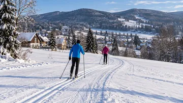
Cross-country tracks in central Rokytnice between the lower and upper squares. An option for a shorter outing without a long ridge tour.
Grooming and usability depend on snow conditions. Do not walk in the prepared ski tracks.
Route map U Kapličky cross-country tracks – Rokytnice
Walk to the destination; drive to the start of the marked route.
The Mapy.com map loads only when you open it. Privacy when viewing maps
Route in Mapy.com U Kapličky cross-country tracks – Rokytnice
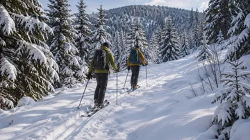
Ski tours
A mountain tour for experienced ski tourers. Assess the route and current conditions beforehand; it is neither groomed nor secured.
If you do not know the local terrain, Rokytnice offers an instructor-guide and ski-touring equipment to test.
26 km (to the start)
Vlčí cesta – KRNAP ski tour no. 7
10.9 km · additional access and return
Start: the Rezek area; park at Skála in Vítkovice and continue to the route.
The route follows Liščí Doupě, Vlčí cesta, Okružní cesta and the U Vlka clearing. In the forest, stay on the published line and do not ski outside the designated route.
For experienced ski tourers in suitable conditions only. Add 3.3 km to reach the route and 2 km to return to the paid Skála car park. These links are not part of the mapped GPX; check winter accessibility locally.
Route map Vlčí cesta – KRNAP ski tour no. 7
The Mapy.com map loads only when you open it. Privacy when viewing maps
Before you go
KRNAP ski-touring routes are not secured. Do not go alone; consider a mountain guide and have suitable experience, avalanche equipment and rescue skills.
The Rokytnice operator does not allow uphill travel on its pistes. Follow its current rules; a route marked by KRNAP is not in itself permission to climb the pistes.